


 Marcel Simok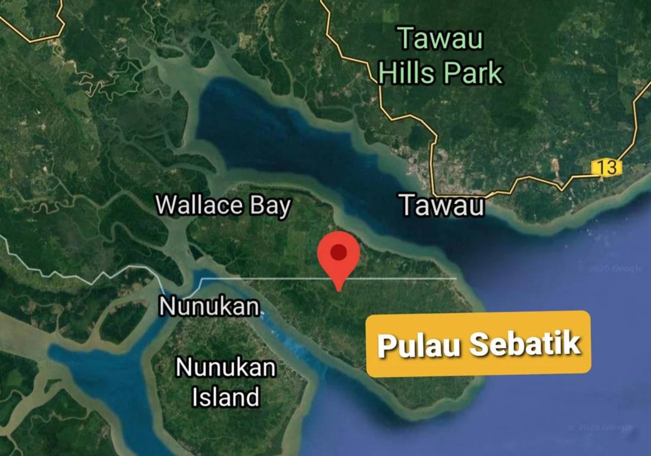
For years, a house on Sebatik Island straddled two countries. One half sat in Malaysia. The other sat in Indonesia. The family inside cooked breakfast in one nation and slept in another. Tourists came to photograph it. Officials cited it as a symbol of peaceful coexistence. Two neighbours sharing an island who managed, mostly, to get along.
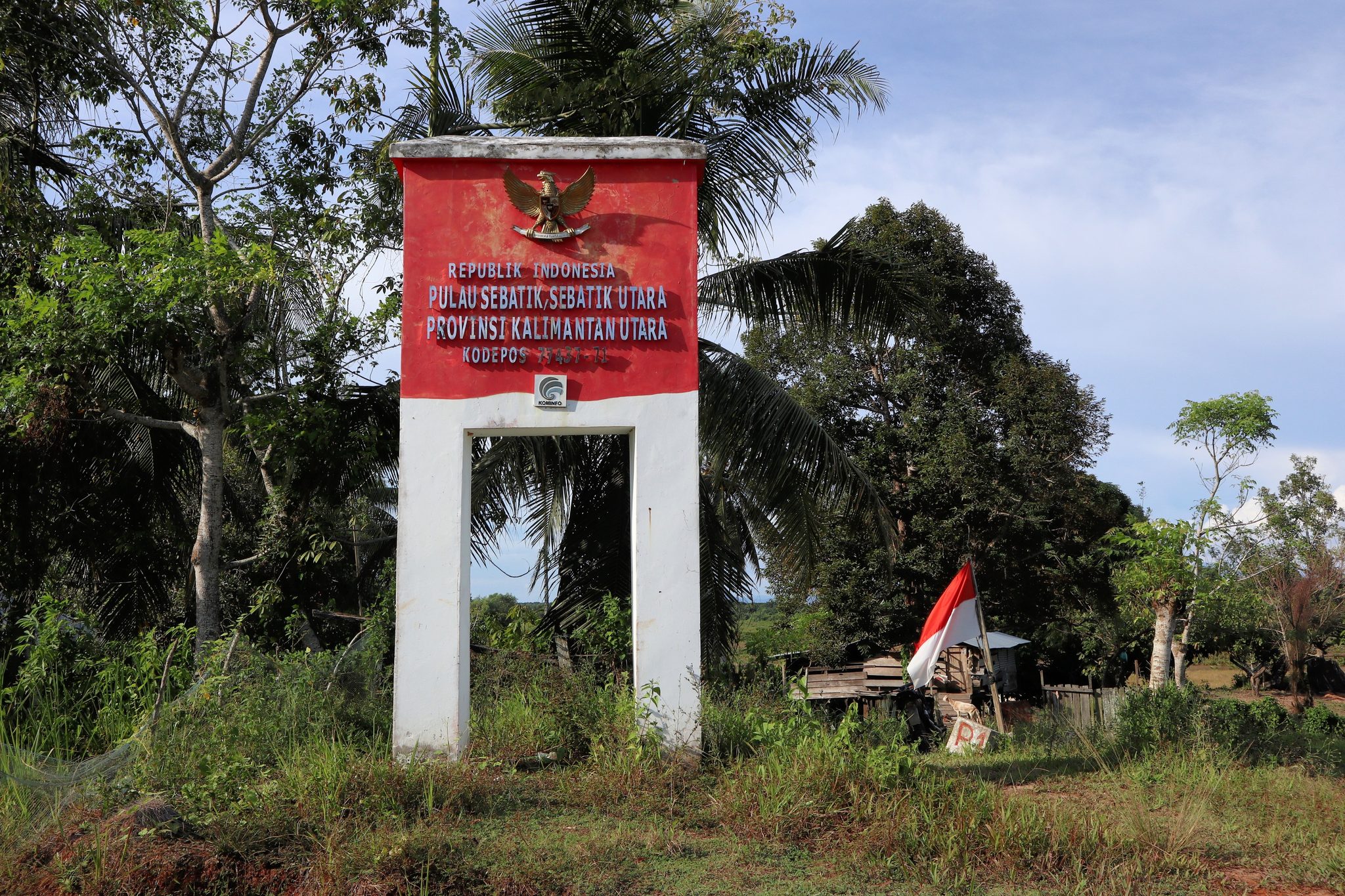
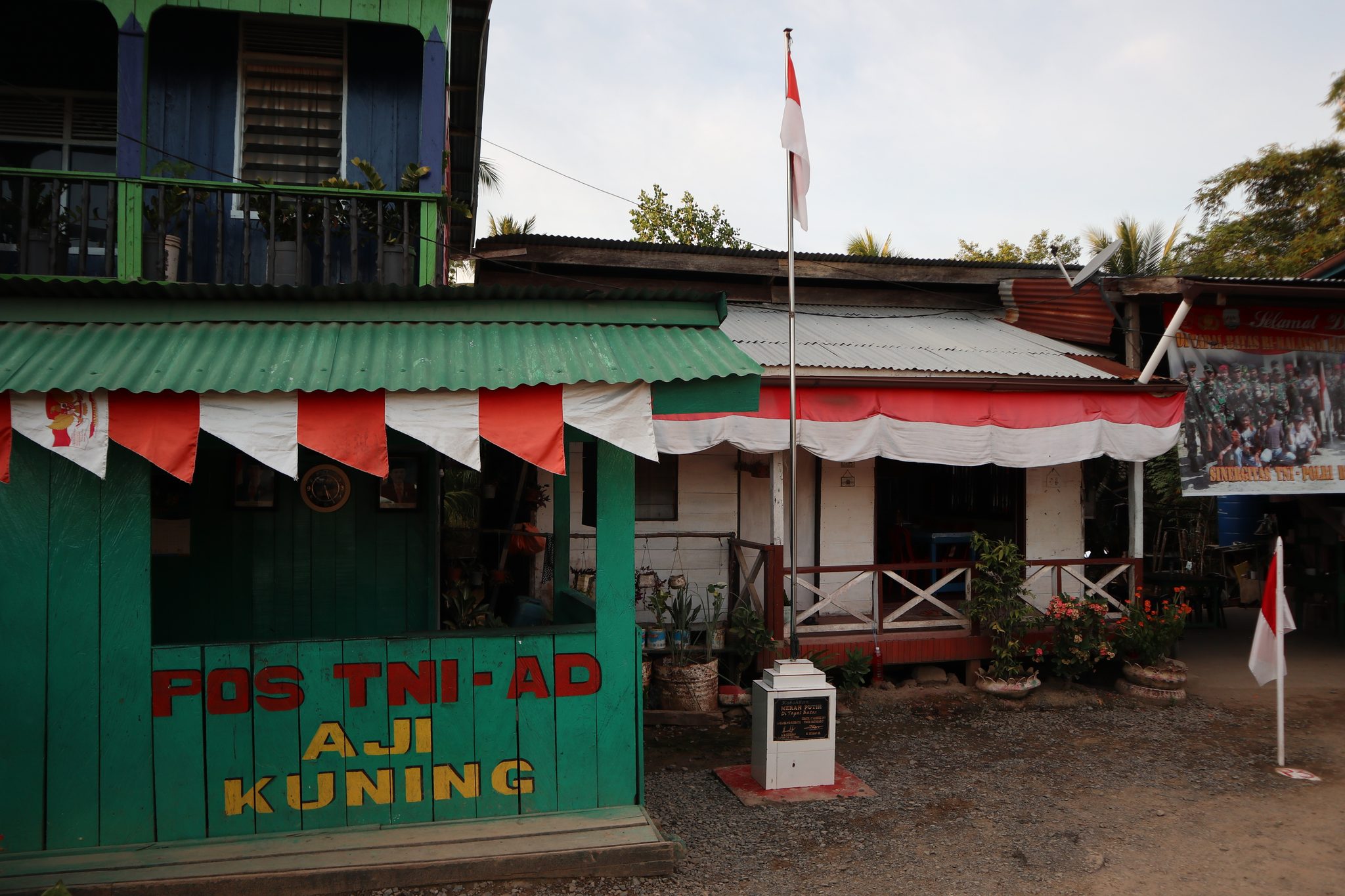
The border moved in early 2026. The two-nation house at Kampung Sungai Haji Kuning now sits entirely within Indonesian territory. Kalabakan MP Datuk Andi Muhammad Suryady Bandy confirmed this following a new Malaysia-Indonesia boundary demarcation. The house that once belonged to two countries now belongs to one.
For the residents of the villages affected by the demarcation, the question was more personal than political. Malaysia does not permit dual nationality. So they had a choice to make — apply for Malaysian citizenship, or remain Indonesian. That choice, for families who may have lived across the line for generations, was not simple.
What the Sebatik Island border demarcation actually involved
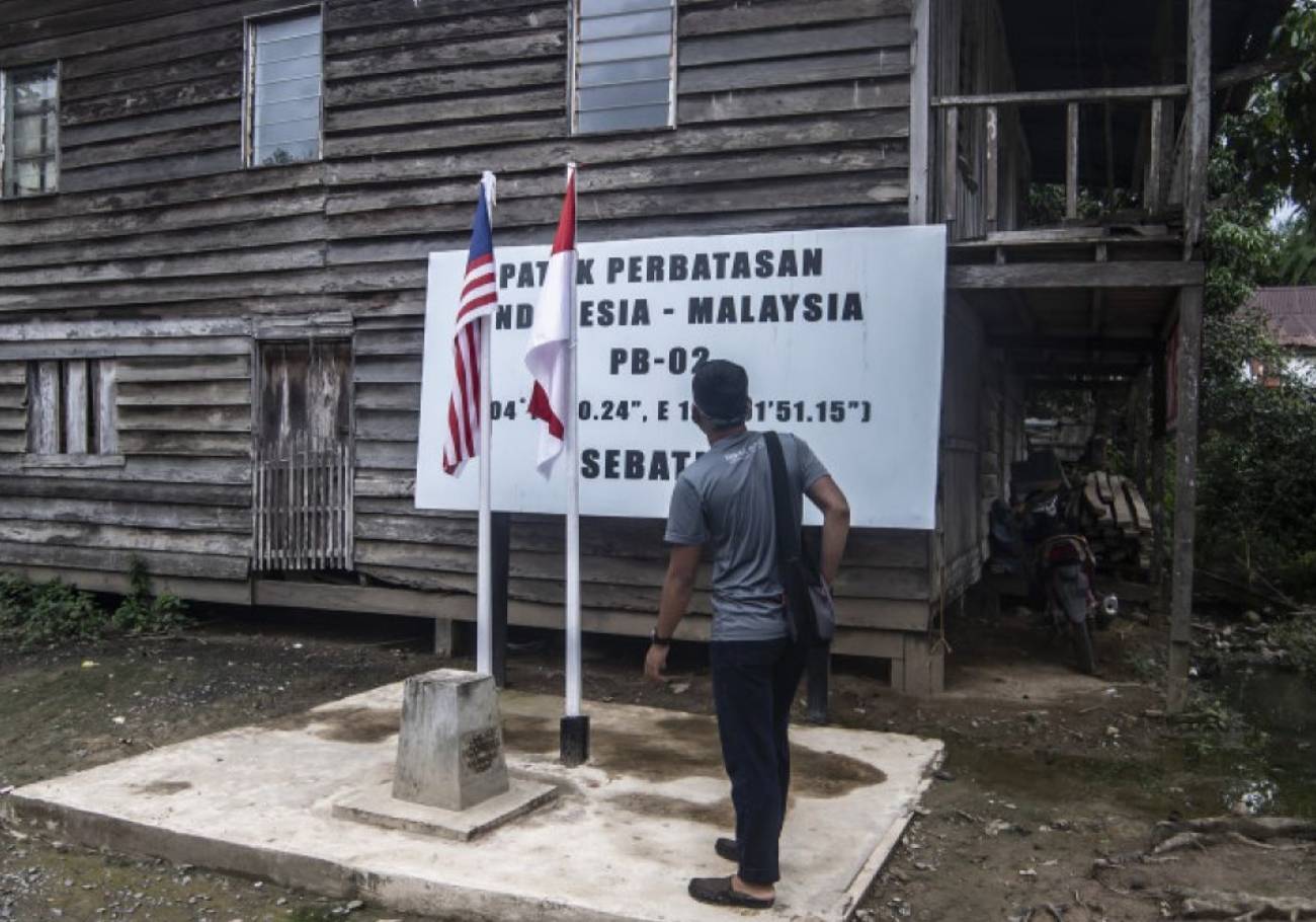
The new boundary was not drawn overnight. It came from the 45th Meeting of the Indonesia-Malaysia Joint Committee on Border Demarcation. Technical teams had worked on the ground between July 2023 and February 2025. They focused on a 23-kilometre disputed land segment on Sebatik Island. A border question that had lingered since colonial times.
The outcome: Indonesia obtained rights over approximately 127 hectares of the disputed land. Malaysia received 4.9 hectares. The new line also carries a 10-metre buffer zone, adding a further 2.4 hectares to Indonesian territory. The Sebatik demarcation came packaged with two rivers in Kalabakan. Both parties signed MOU No. 23 on 18 February 2025 to finalise it.
Malaysia retains jetty facilities at Sungai Haji Kuning and areas such as Sungai Melayu and Serudong. The two-nation house, and the kampung it stood in, are no longer on the Malaysian side of the line.
As of February 2026, compensation for affected residents had not yet been finalised. Indonesia allocated Rp86 billion in its 2026 budget to support Border Crossing Posts managed by its National Border Management Agency. Presidential Chief of Staff Muhammad Qodari called it a tangible result of successful peaceful diplomacy. He said it strengthens Indonesia’s territorial sovereignty.
The disputed numbers — and what Malaysia says the full picture looks like
When the story went wide in April 2026, the headline figure — 127 hectares lost, 4.9 gained — prompted a swift response from Putrajaya. The Malaysian government challenged the framing, labelling it as inaccurate and inconsistent with official records.
NRES Minister Datuk Seri Arthur Joseph Kurup said the Sebatik realignment was a technical correction. The 1891 Boundary Convention fixed the border along the 4 degrees 10 minutes North latitude line.
That colonial-era treaty is the basis for the correction. The demarcation was not a negotiated concession. It was a correction of the line to where it was always supposed to be.
Sabah Chief Minister Datuk Seri Hajiji Noor confirmed Sabah gained approximately 780 hectares of land previously under Indonesia. The Sebatik cession was one part of a larger exchange. Malaysia gained more than it gave when the whole package is tallied up.
That context matters. The 127 hectares lost headline told one part of the story. The full picture — 780 hectares gained across the broader Sabah-Indonesia demarcation — told a different one.
The line that 1891 drew — and what it means today
The 1891 Boundary Convention between Britain and the Netherlands divided Borneo along a latitude line. Britain controlled the north — what is now Sabah. The Netherlands controlled the south — what is now Kalimantan.
Sebatik Island was cut in half by that line. The northern half became British, then Malaysian. The southern half became Dutch, then Indonesian.
For over a century, the exact location of that line on the ground remained contested in certain segments. Communities grew up in the disputed zone. Houses were built. Families settled. The two-nation house at Sungai Haji Kuning became famous because it made the abstract — a border — physically visible. One roof, two countries.
Now the technical teams have done their work. GPS coordinates match. The line is set. And the house that once made the border tangible is on one side of it.
What happens to the people in Sebatik Island
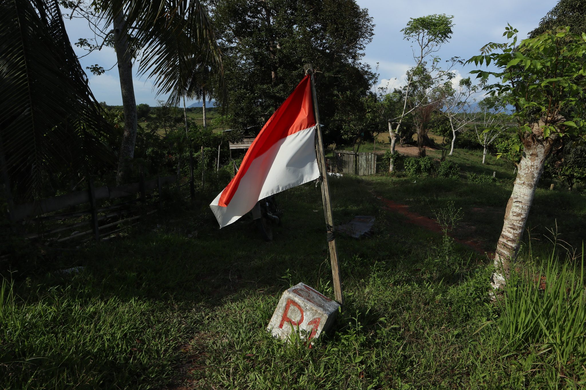
The human dimension of the demarcation is the part that bureaucratic language tends to flatten. Residents of affected villages now live in Indonesia. People who may have held Malaysian ICs, sent children to Malaysian schools and received Malaysian government services.
Affected residents were given the option to apply for Malaysian citizenship under the standard process, subject to established procedures.
Those who choose to remain Indonesian keep their existing status. The choice of country, of identity, of which flag flies over your birthplace does not resolve cleanly on a form.
Indonesia said it was working with local governments on Sebatik to identify and verify affected residents for relocation. No update on how many residents chose Malaysian citizenship versus staying Indonesian has been publicly released.
The survey work on the broader Sabah-Indonesia border was scheduled for completion by June 2026. The demarcation of Sebatik is settled. The lives it reshaped are still adjusting.


 C. Khor
 Maran Perianen






Add comment