


 Sashidaran Gunathevan
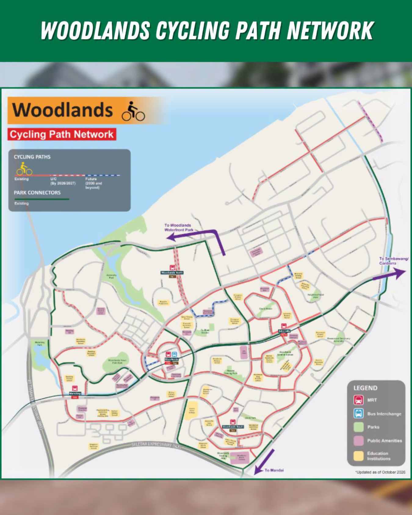
About 16km of new Woodlands cycling paths are now complete. They add to 26km of paths and park connectors already there. The Land Transport Authority (LTA) announced it on 14 November. Nearly 9km more is due from 2027, including links to the upcoming RTS Link station.
The paths cover Woodlands and Sembawang. Minister for Health and Coordinating Minister for Social Policies Ong Ye Kung helped launch them. Other advisers to the area’s grassroots groups joined him.
Here is where the paths lead, what safety work came with them and how the RTS Link fits in. However, the new 16km does not link to it.
Safety work along the Woodlands cycling paths
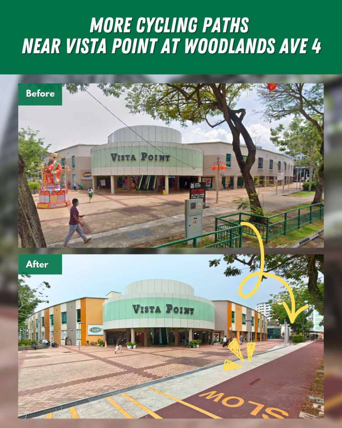
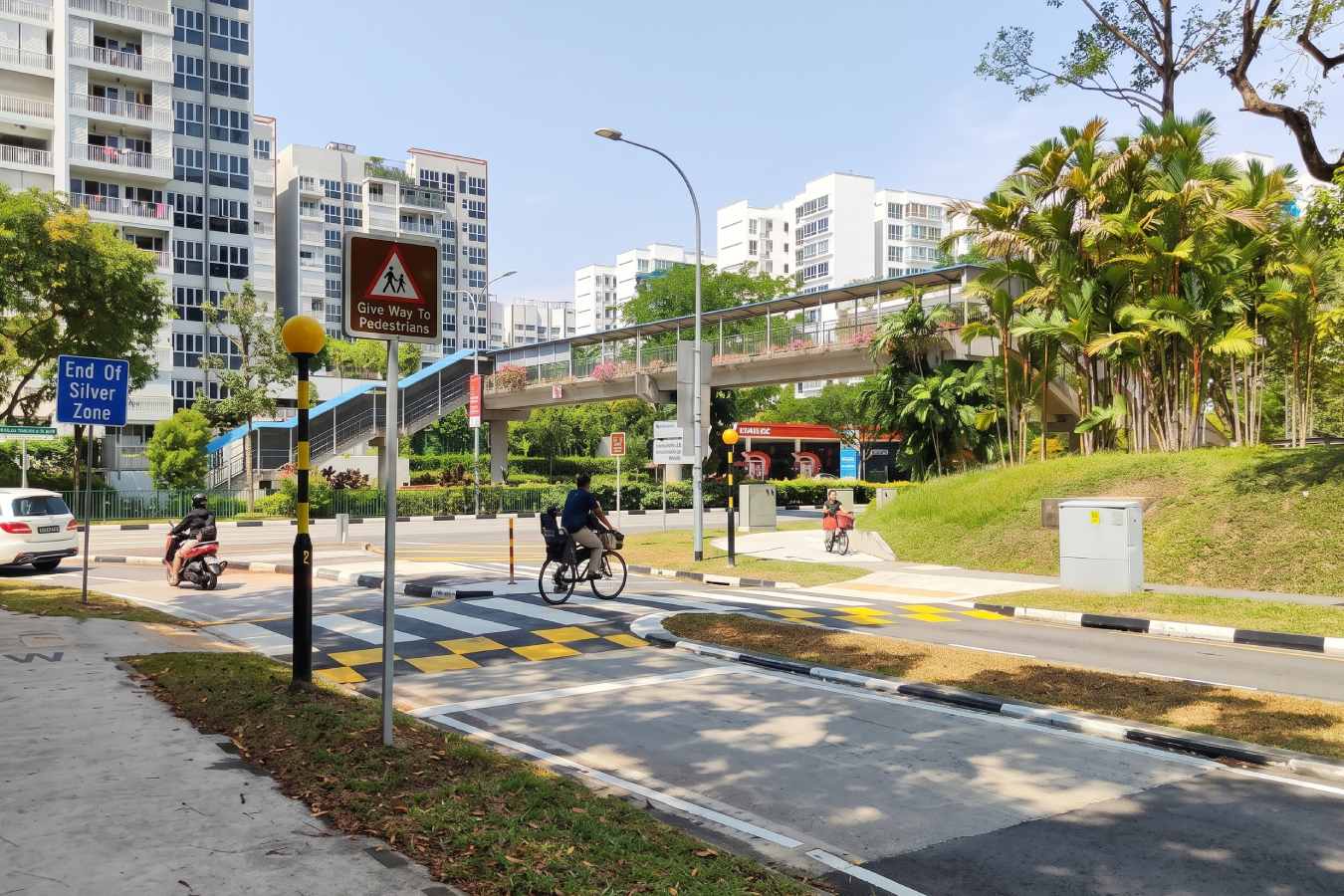
In addition, LTA changed the streets around the new paths. About 2.4km of open drains were covered to free up space for walking and cycling. In addition, 35 pedestrian crossings were widened.
Specifically, a new raised zebra crossing opened on Woodlands Drive 52. Eight existing signalised mid-block crossings now serve cyclists too. Moreover, 44 nearby bus stops now have bypass paths.
Elsewhere, school boundaries were adjusted where needed. LTA says students keep safe access. About 500 bicycle parking lots were added at Admiralty and Marsiling MRT stations.
Notably, LTA did not give the cost of the work. It also gave no list of streets for the 16km. Instead, a map sits in an annex to the release. LTA says the paths serve Sembawang West, Sembawang and Marsiling-Yew Tee residents.
Where the Woodlands cycling paths lead
The new paths give cyclists better access to Admiralty, Marsiling, Woodlands and Woodlands South MRT stations. Existing paths already link Sembawang and Canberra stations. As a result, more homes sit near a train line. That helps residents who ride to the station.
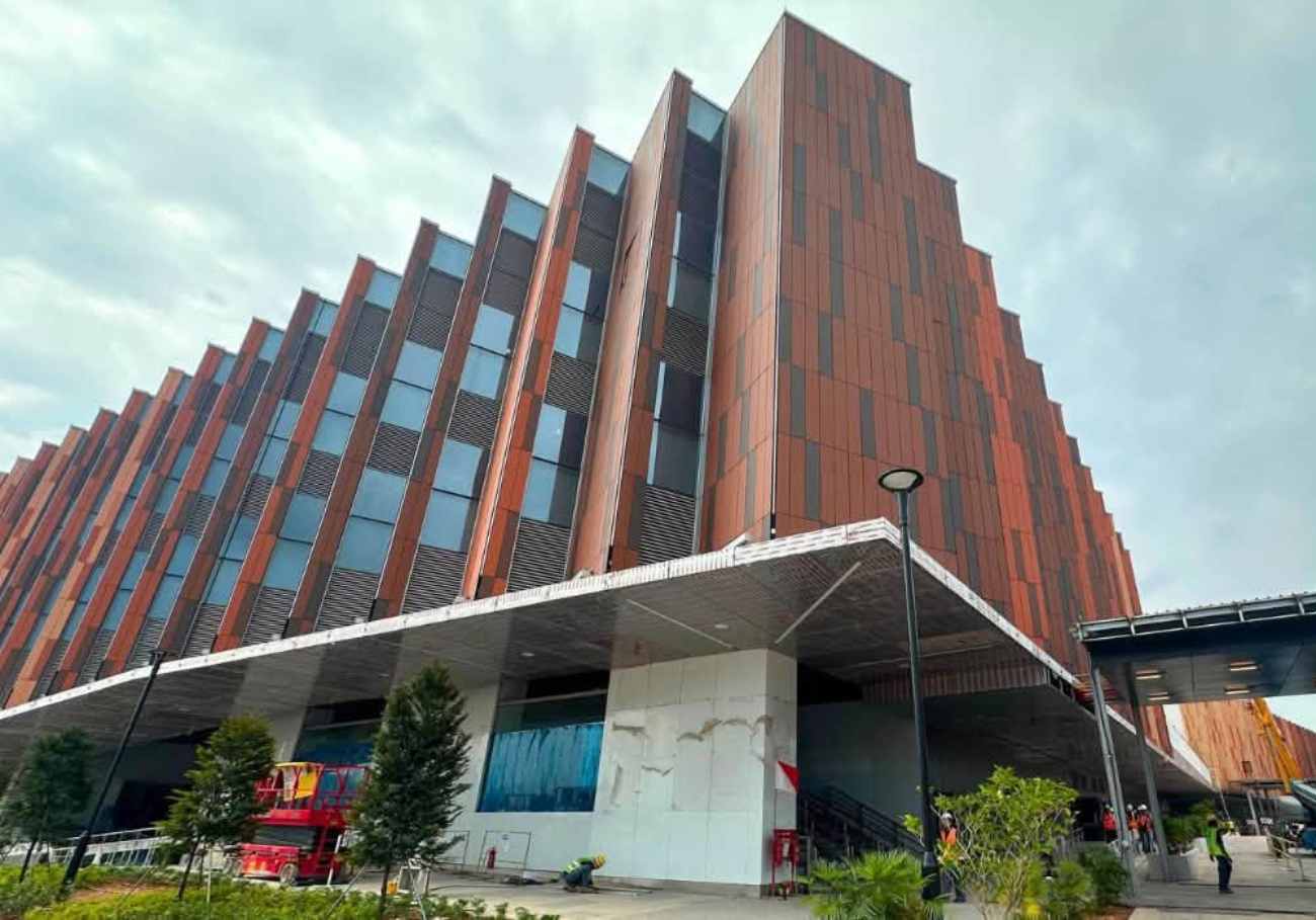
Likewise, they reach places like Woodlands Civic Centre, Causeway Point and Kampung Admiralty. The Woodgrove, Woodlands Health Campus, Republic Polytechnic and Woodlands Waterfront Park are also on the network.
Read more: RTS Link exercise at Woodlands North runs 3pm to 2am
Read more: RTS Link passengers will clear both borders at one station
Read more: Causeway jam likely worst on Fri 20 and Sat 21 Nov
Furthermore, residents can join the wider Park Connector Network. They can also reach the first phase of NParks’ Round Island Route. LTA names Yishun, Punggol, Changi Village, East Coast and Marina Bay as places within reach.
Overall, Singapore’s cycling network has grown from about 600km in 2024 to more than 800km. The target is about 1,300km by 2030.
Woodlands cycling paths and the RTS Link station
Importantly, LTA says it will build nearly 9km more paths from 2027. They include links to the upcoming Johor Bahru to Singapore RTS Link station. The aim is better first and last mile trips, including for cross-border commuters.
The release does not name Woodlands North station. Likewise, it gives no date for each stretch. Therefore, riders cannot yet plan routes. Treat the RTS Link links as a plan, not a finished route.
Meanwhile, the area is busy with RTS Link preparations. Our story on the RTS Link exercise at Woodlands North shows the station is being tested. Johor visitors who plan to cycle should check LTA’s map first.
In short, Woodlands cycling paths now add about 16km, with nearly 9km more from 2027. The new RTS Link links are still to come. Watch for LTA’s route details.





 Sidhaarthan

 Yalinie Mathan

 Maran Perianen



Add comment