

 Yalinie Mathan
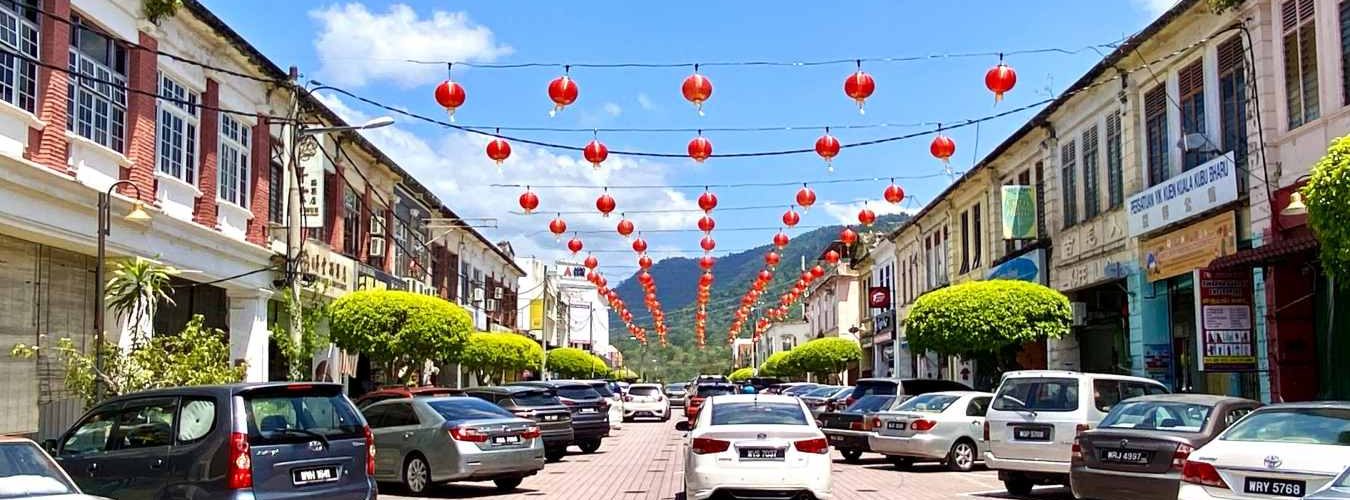
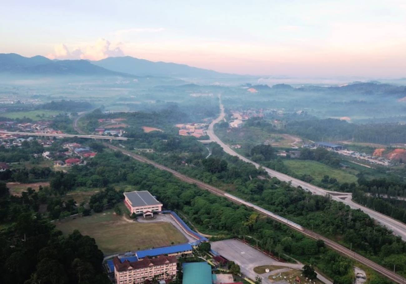
Kuala Kubu Bharu is a small town in Hulu Selangor that was rebuilt as a planned town after floods. The old Kuala Kubu was destroyed when a dam collapsed in 1883. Another flood struck in 1926. The new town sits on higher ground at the foot of Fraser’s Hill.
Meanwhile, the town is in the news for a sad reason. Eight people were swept away by strong currents at Sungai Luit, near the Sungai Pertak Picnic Site, on 9 November. As of 12 November, six bodies had been recovered and two people were still missing.
This article looks at the town’s history, how it was planned and what remains to see. It follows our look at Klang’s history and Batang Kali.
Old Kuala Kubu and the dam that broke in 1883
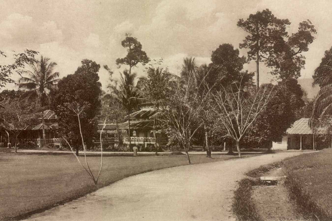
Old Kuala Kubu stood between two tributaries of the Selangor River. It took its name from a fort, or kubu. Raja Mahadi and Syed Mashor built it during the Selangor Civil War, which ran from 1867 to 1874.
The town grew into one of Selangor’s biggest tin towns. A museum volunteers’ account calls it the second largest. Moreover, trains arrived in 1894, linking the town to Serendah, Rawang and Kuala Lumpur.
In 1883, a dam upstream collapsed and destroyed the town. Today, the site is known as Ampang Pecah, which means broken dam. Therefore, the name remembers the disaster.
However, the town was rebuilt lower down, and floods followed. In 1926, a district officer reported continuous rain from 25 to 30 December. The flood swept away much of the town. Furthermore, the town was cut off by road and rail.
How Kuala Kubu Bharu was planned after the floods
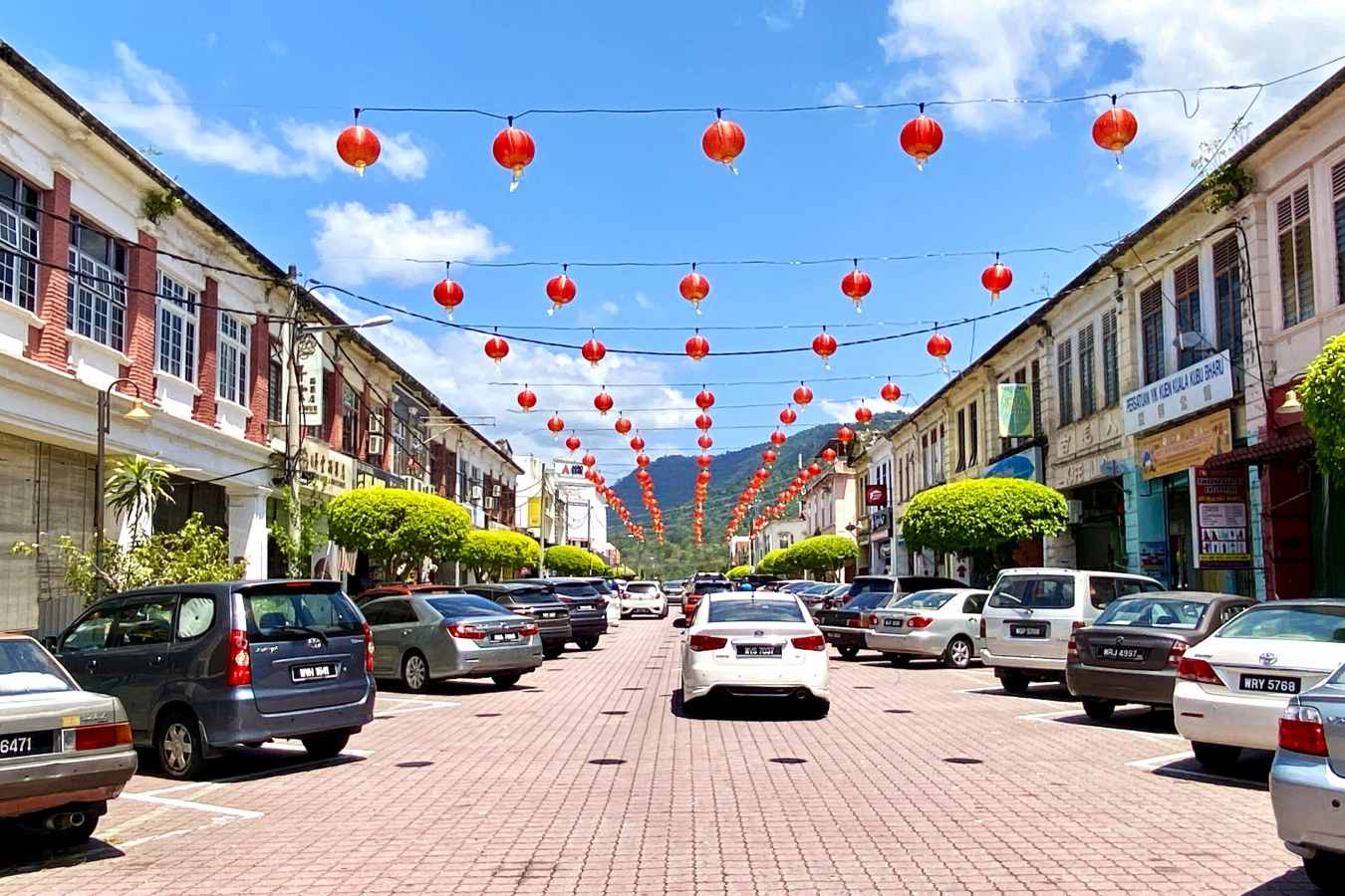
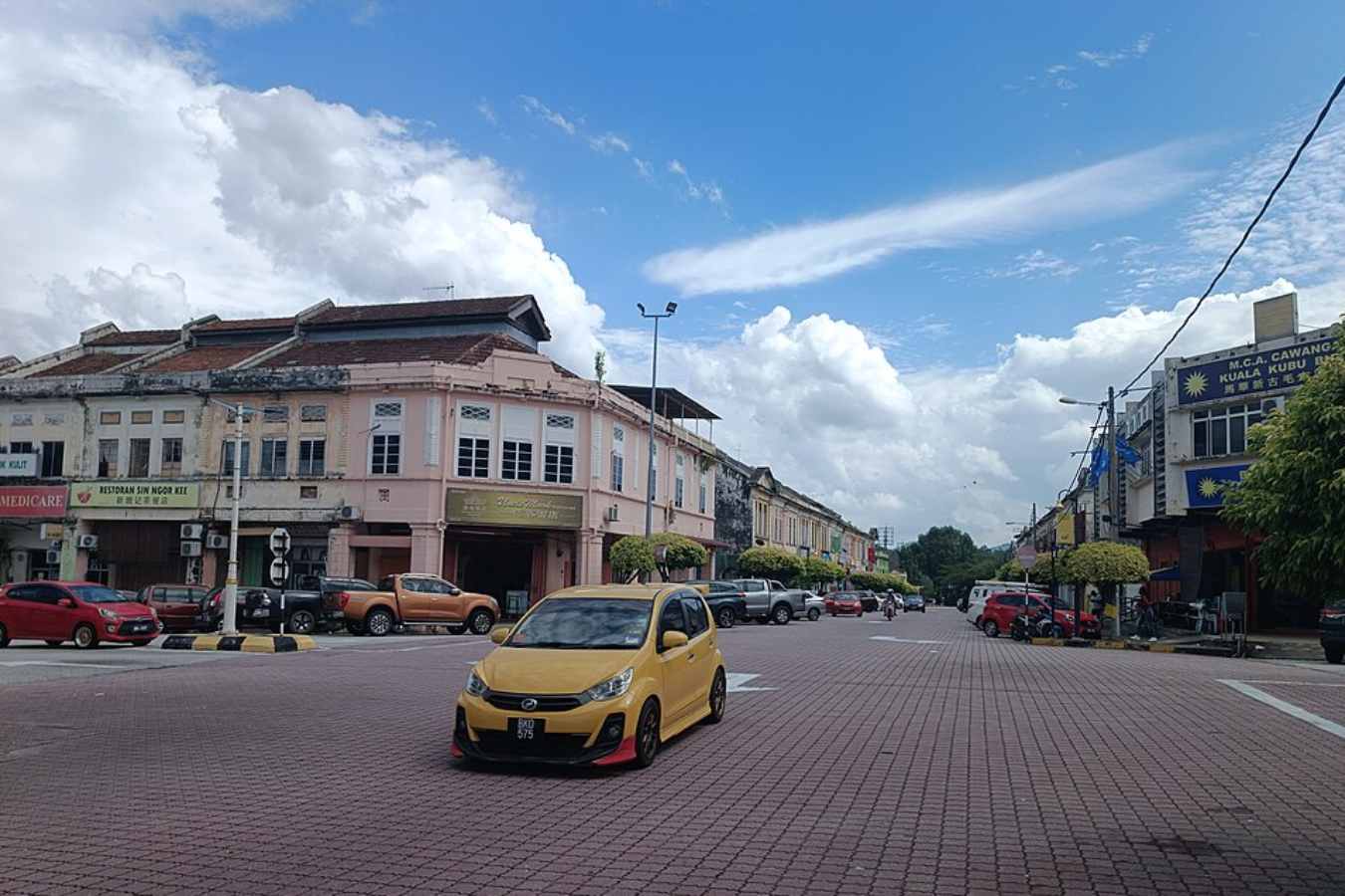
The rebuilt town was named Kuala Kubu Bharu, meaning new Kuala Kubu. It was designed by Charles Compton Reade, described as the first government town planner in the Federated Malay States. Planning dates from the 1920s. However, sources differ on the exact years.
Specifically, Reade divided the town into commercial, residential and administrative zones. The administrative zone sits up a hill, reached by a staircase. In addition, schools, churches and clubs were placed on higher ground because of the floods.
Read more: Batang Kali grew from tin and rubber into a Genting rest stop
Read more: Klang history runs from tin and war to a royal city and port
Read more: Sungai Pertak water surge leaves 5 dead and 3 missing
Overall, the aim was a garden town surrounded by greenery. A museum volunteers’ guide calls it the country’s first planned township. Likewise, the railway station was moved to Kuala Kubu Road in 1924 because of flooding.
The British also built the Seven Wells of Serendah, a small dam with seven spillways. It was meant to prevent a repeat. The same account gives no date. Meanwhile, Khing Ming primary school moved from the old town to the new one.
What to see in Kuala Kubu Bharu today
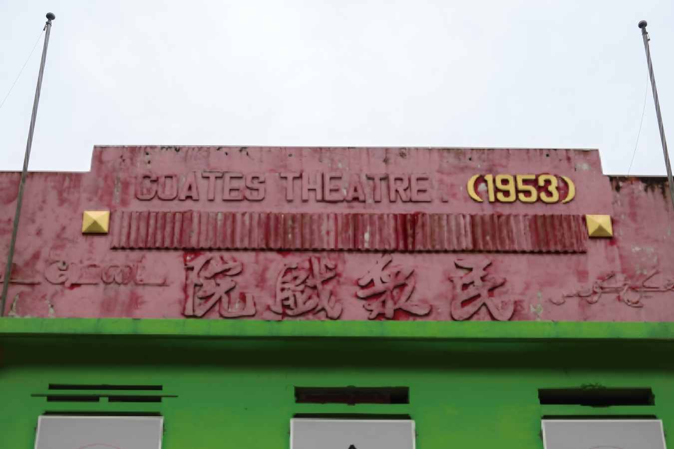
For example, the former Coates Theatre, built in 1953, is an art deco building in the commercial zone. A clock tower marks the accession of King George VI in 1937. However, the clock itself is gone.
Notably, some buildings survived from the old days. They include Masjid Lama Al-Hidayah and the Guan Yin Gu See Temple, built in 1904. Furthermore, the Church of St Paul the Apostle, the post office and the fire station stand in the town.
Besides, nature draws visitors. The Sungai Selangor Dam, Bukit Kutu and the Sungai Chiling waterfalls lie close by. Therefore, after the 9 November incident, visitors should check river conditions and local warnings before heading to any waterfall.
In short, Kuala Kubu Bharu was rebuilt on higher ground as a planned town after dam and flood disasters. Its old buildings still tell that story. Check river warnings before you visit.


 CJMY

 C. Khor





Add comment